

Trails & Paths
The Beacon Hill walking trail network is made up of four main loops and the paths that connect them. Pick a loop below to see where it goes, zoom in on the map, and tap a lettered point to see the distances from that spot.
Interactive trail map
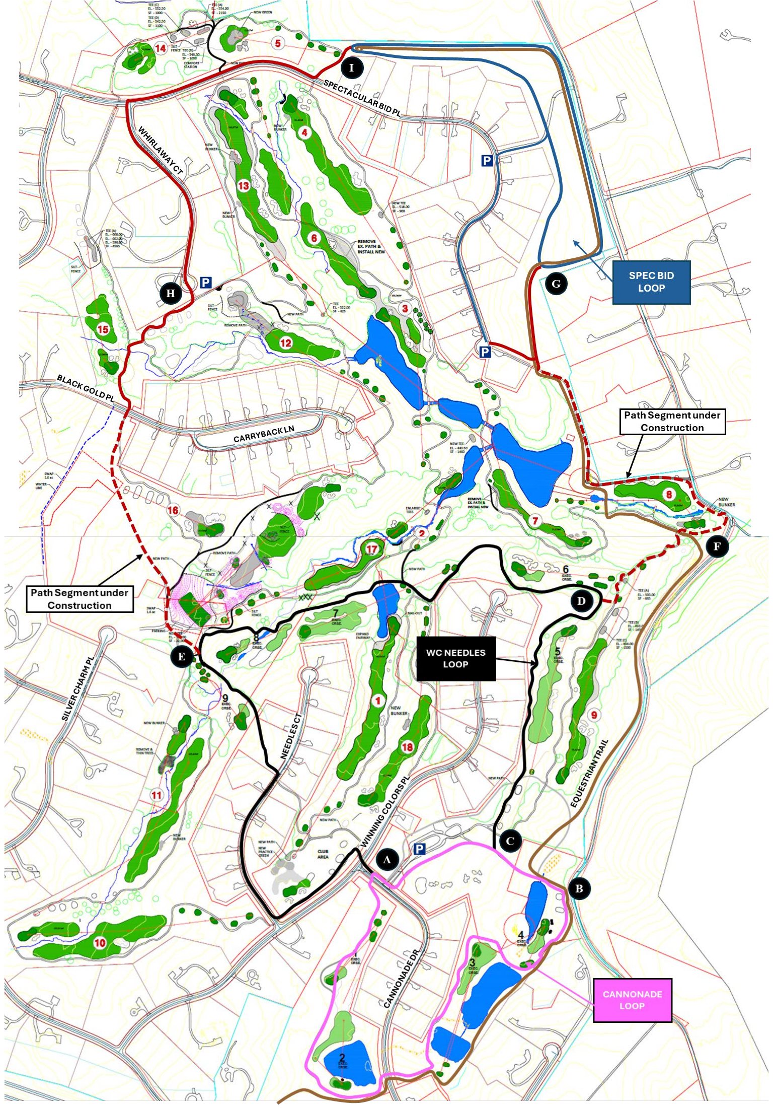
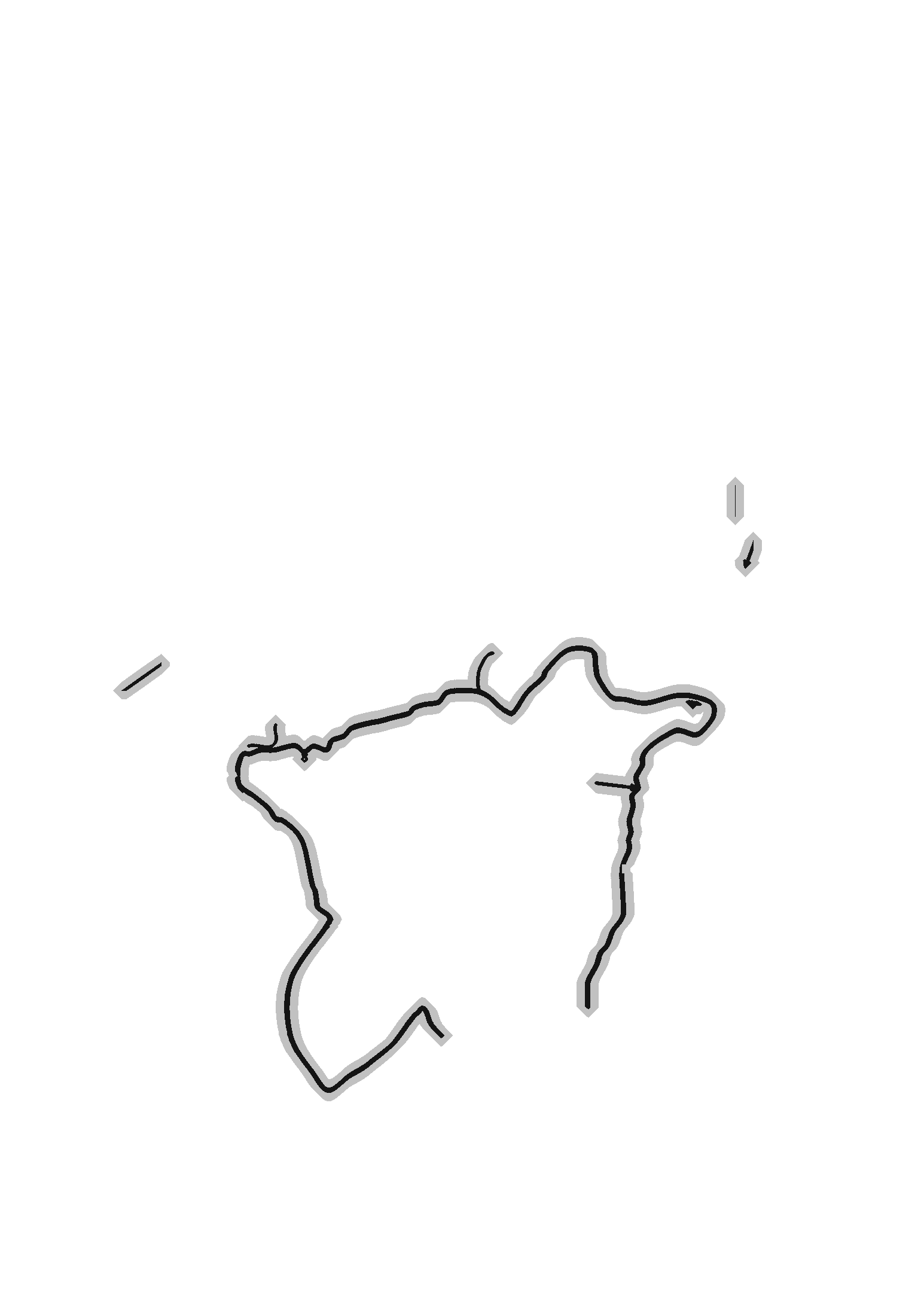

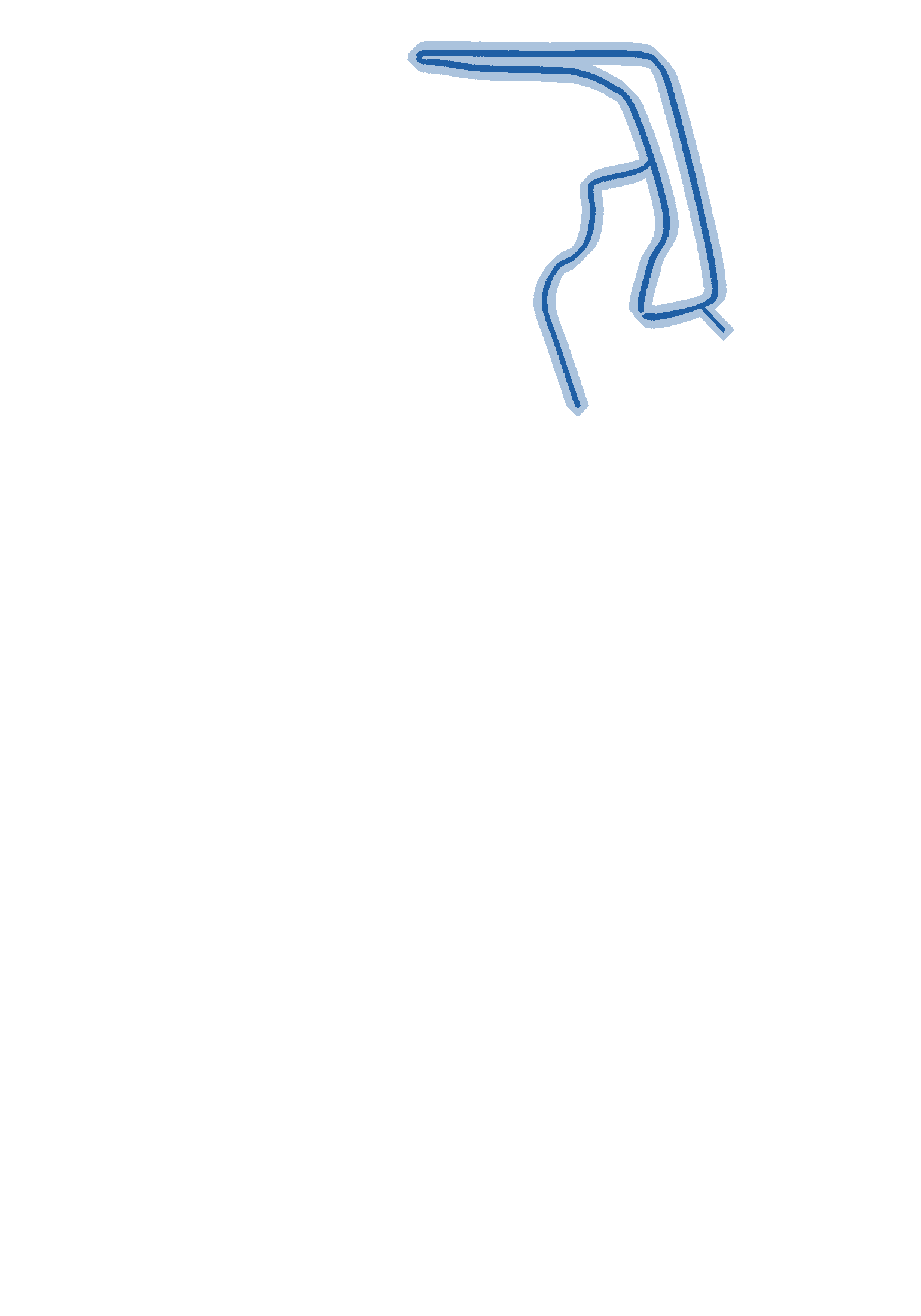
Drag to move the map. Use + and − (or pinch, or Ctrl + scroll) to zoom. Tap a letter for distances.
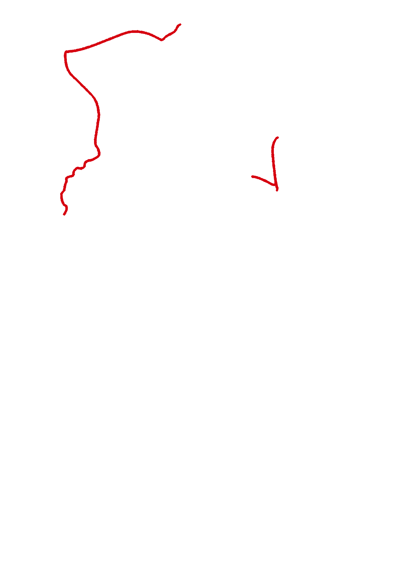
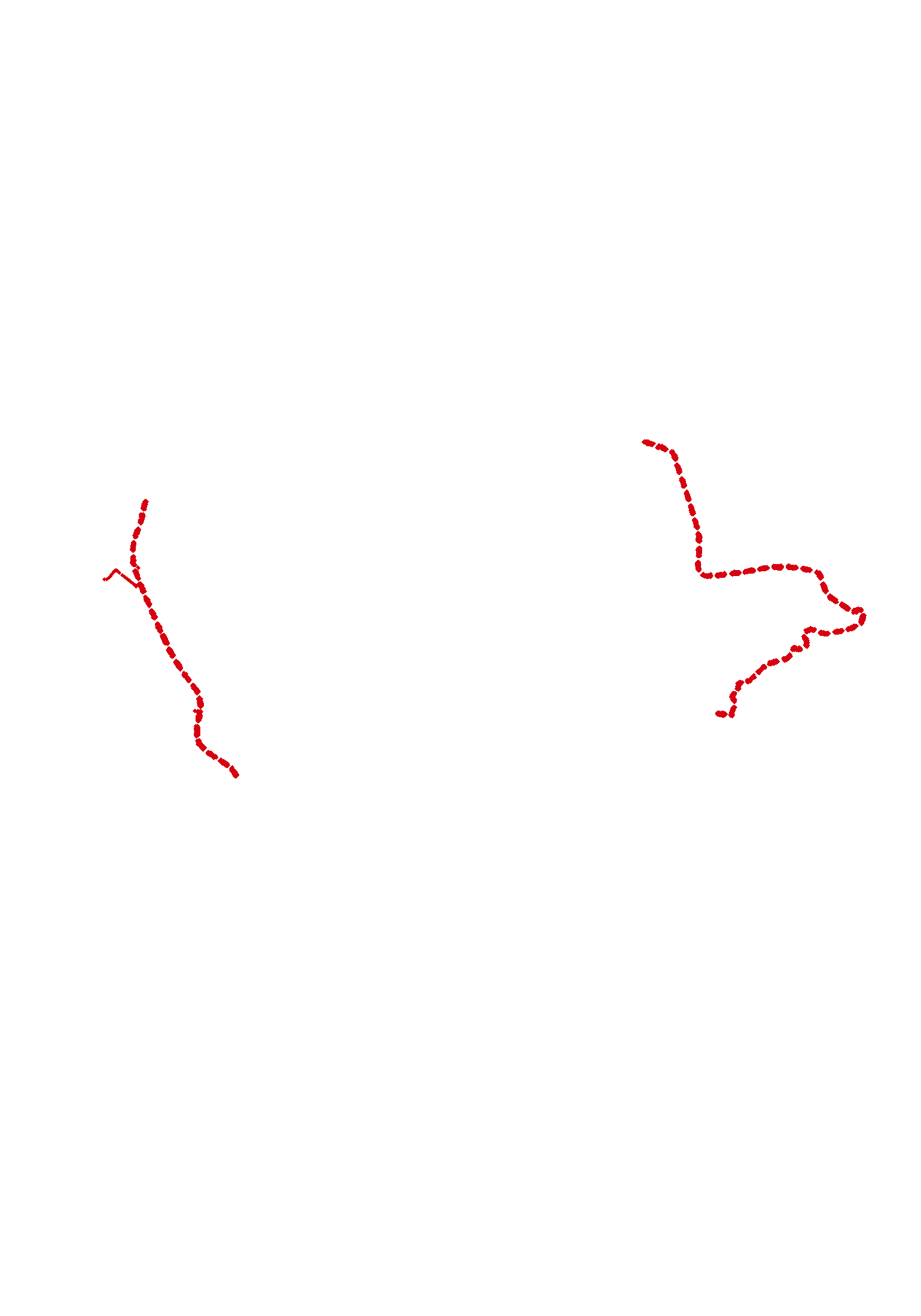
Walking all of the outer paths (the outer edge of the three loops plus the red connecting paths) is 5.3 mi in total.
Getting around
Choose a loop above to highlight it on the map, or tap a lettered point (A–I) to see how far it is to the next intersection. Numbered signs at each intersection will direct walkers along the trails with distances shown.
Distances between points
| Starting point | Ending point | Distance |
|---|---|---|
| A | B (via Pt. C) | 0.3 mi. |
| A | C | 0.2 mi. |
| A | E | 0.6 mi. |
| B | F | 0.5 mi. |
| C | D | 0.4 mi. |
| D | E | 0.6 mi. |
| E | H | 0.4 mi. |
| F | G | 1.2 mi. |
| G | I | 1.3 mi. |
| H | I | 0.6 mi. |
Good to know
- There will be four main loops in the BHCA Walking Trails, plus paths that interconnect the loops.
- Numbered signs at each intersection will direct walkers along the trails, with distances identified.
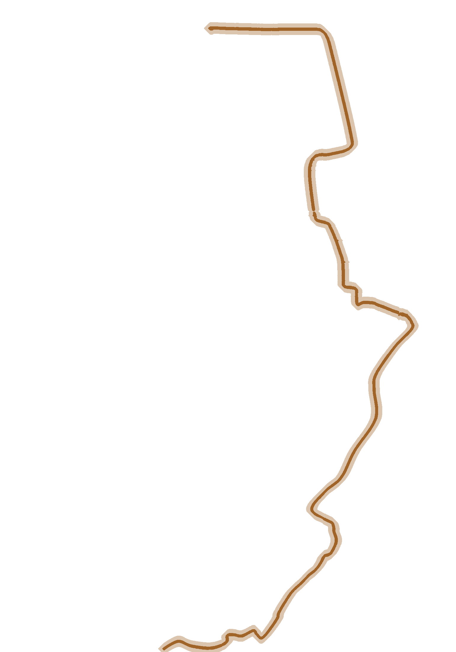
- The Equestrian Trail is for homeowners riding their horses but can be used for pedestrian travel as well.
- No golf carts are allowed on Walking Trails unless they meet the Beacon Hill Golf Club Private Cart Agreement.
- Some path segments are still under construction. They are shown as dashed red lines on the map.
Prefer paper? The original map is available as a PDF (updated 10/28/2025).
Map and distances: BHCA Walking Trails map, dated October 28, 2025. Questions? Call the management office at 703-771-9355.